Geophysical survey is part of subsurface investigation using geophysical methods. Our geophysical method sevices consist of :
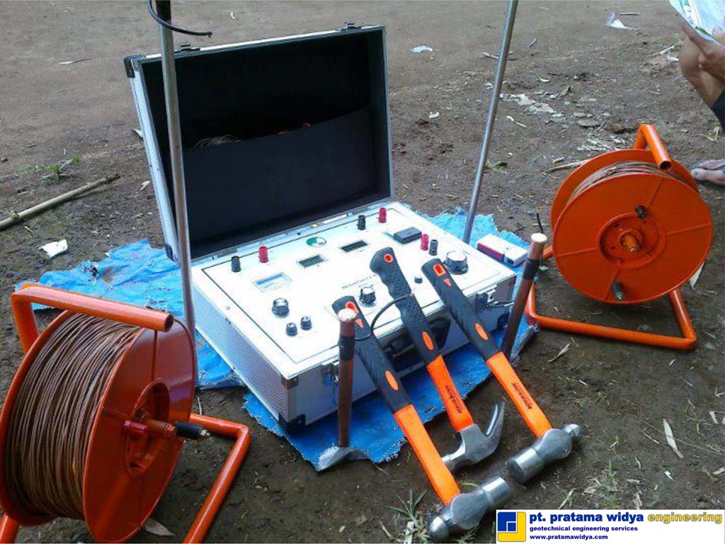
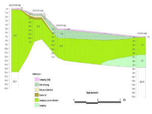
- Geoelectric survey, to provide detailed information about the site geology, stratigraphy and groundwater by mapping the subsurface electrical resistivity from injecting current and measuring the potential differences in a series of electrodes placed in ground.
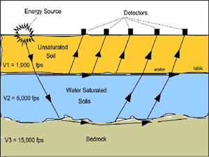
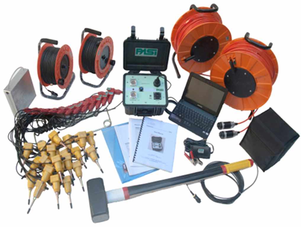
- Seismicreflection and refraction surveys, to provide detailed information about the site geology, stratigraphy and geomechanical properties using seismic acoustical waves, by refracting or reflecting waves to measure the wave velocity propagation (sensors placed on ground) across the subsurface site.
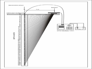
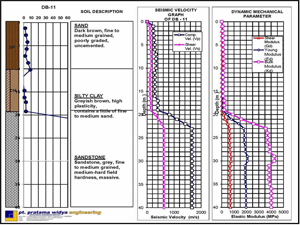
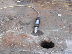
- Borehole seismic crosshole and down hole surveys, to evaluate the ground behavior in a seismic event by measuring the soil / rock shear wave velocity to estimate its dynamic response. Compression and shear waves are transmitted from a source on the surface to a receiver in the adjacent borehole (down hole) or from a source located in another borehole (cross hole).
