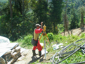
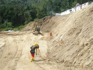
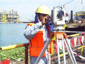
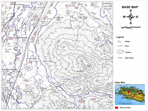
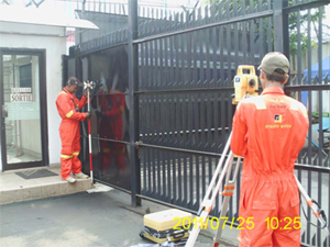
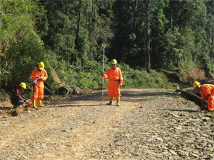
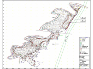
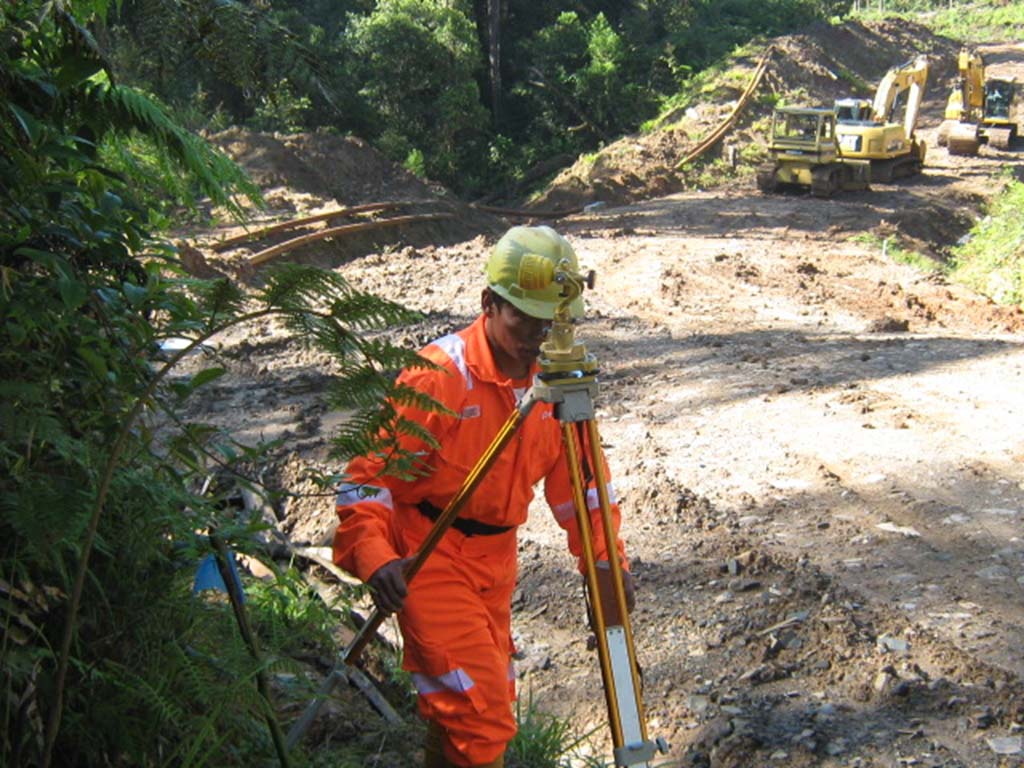
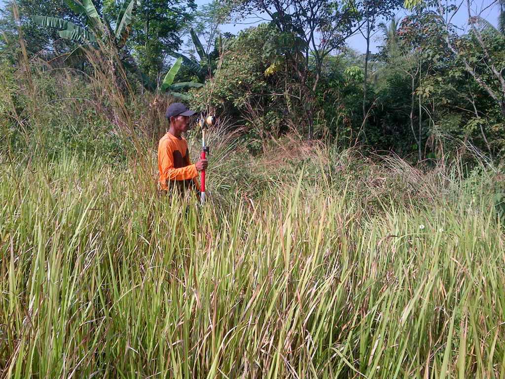
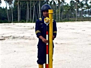
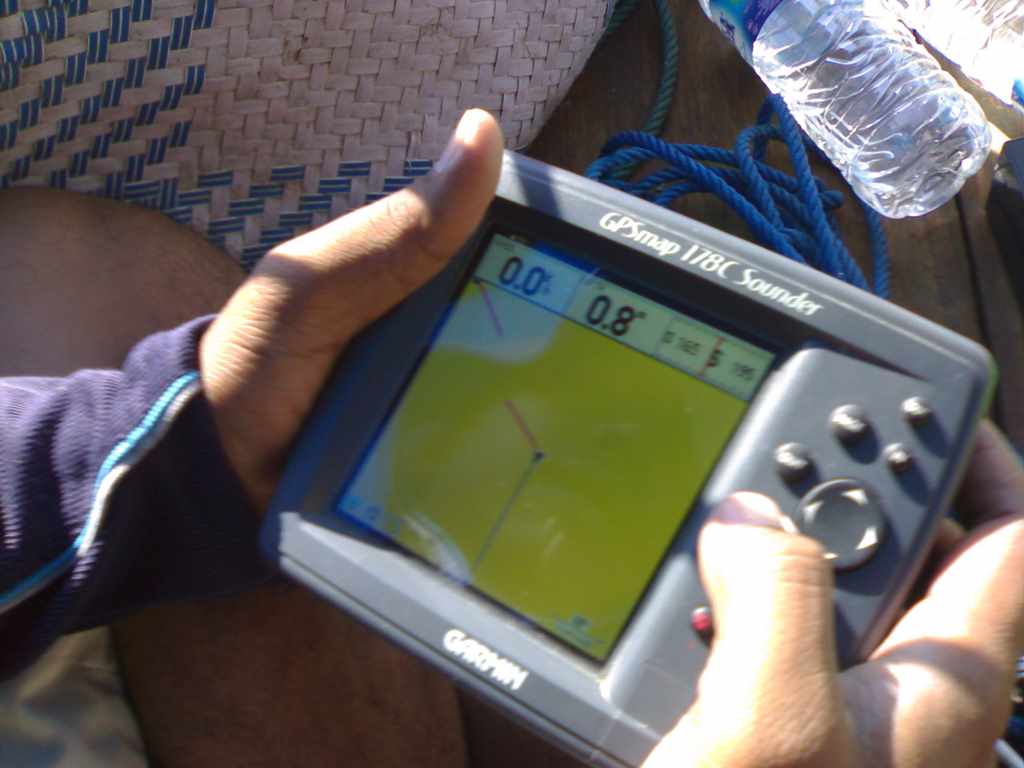
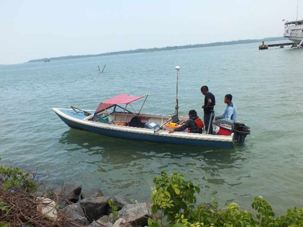
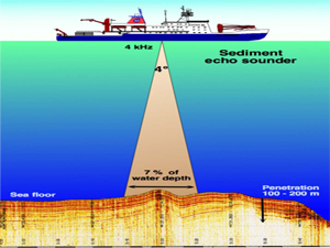
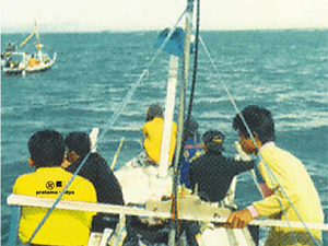
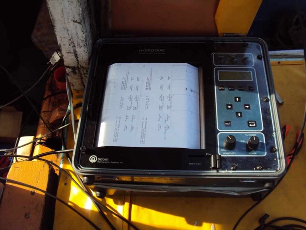
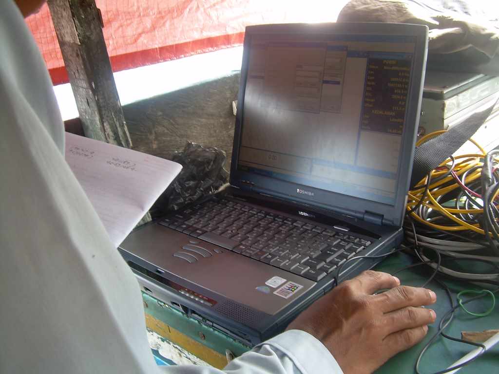
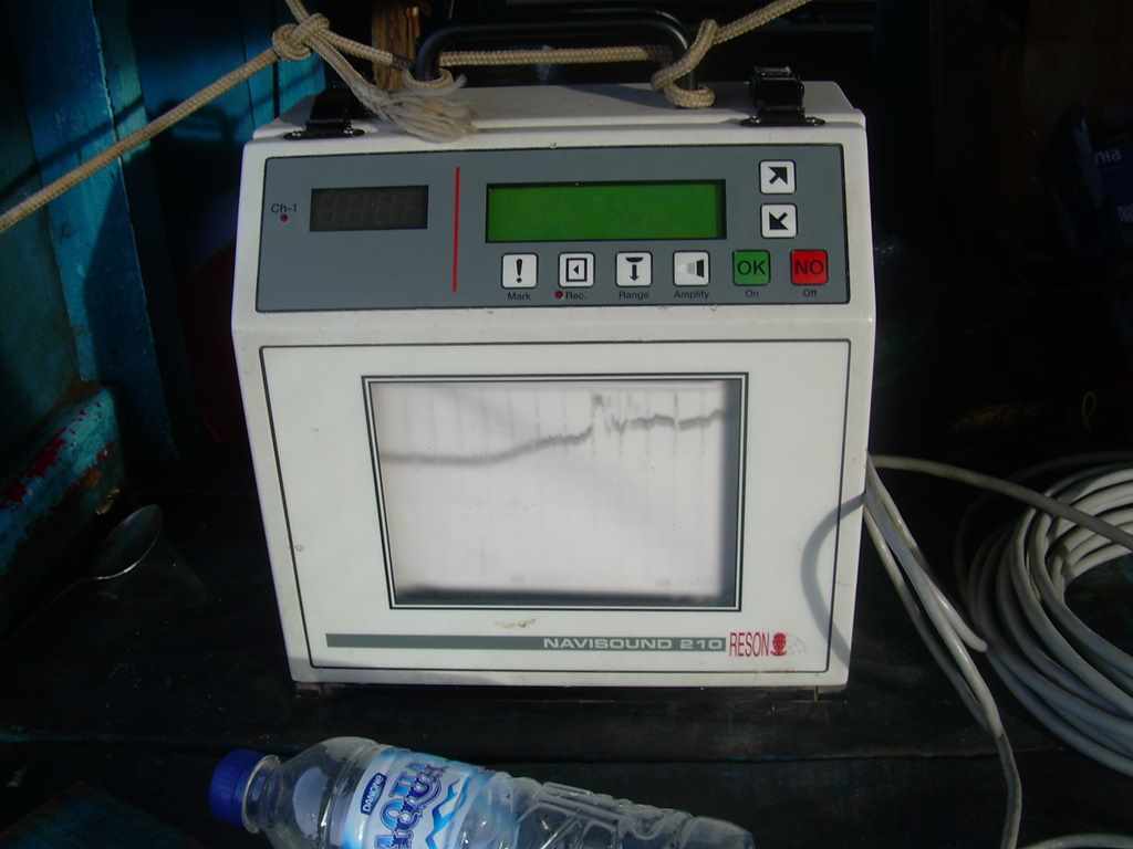
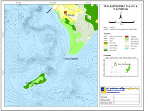
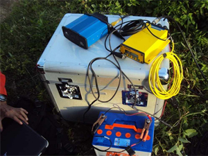
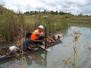
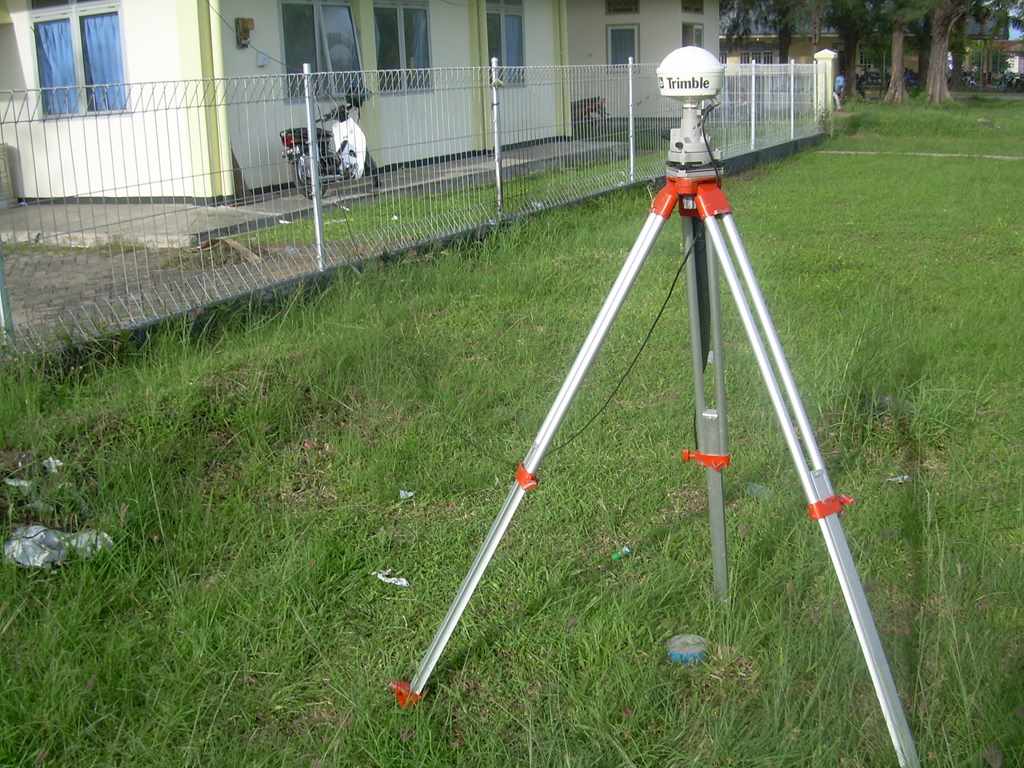
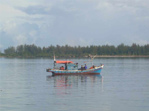
Topographic survey is used to identify and map the contours of the ground and existing features on the surface of the earth or slightly above or below the earth's surface such as trees, buildings, streets, walkways, utility poles, and others. The mapping method is in form of coordinateposition system such as latitude, longitude, altitude plotted in a topographic map. Topographic survey maps are generally most required in the planning and design stages of projects. Bathymetric survey also known as a hydrographic survey is a method for measuring, describing and analyzing the physical conditions, boundaries, flow and related characteristics of the surface of seabed floor. The results from bathymetric survey are plotted to produce a contour surface map from depth of sea bed. Bathymetric survey maps are commonly used in dredging, reclamation, harbour, jetty, wharf, offshore pipeline, other marine conctructions.
Widya Griya Jl. Kelapa Buaran PLN No.92 A-D Cikokol, Tangerang, 15117, Indonesia
Komp. Era Century Park D2
Bengkong Sadai, Batam
Batam - 29461, Indonesia
email headoffice@pratamawidyaengineering.com
local_phone (+62 21) 557 82407 / 418
local_printshop (+62 21) 557 01567
email pwebatam@pratamawidyaengineering.com
local_phone (+62 778) 451 035 / 036